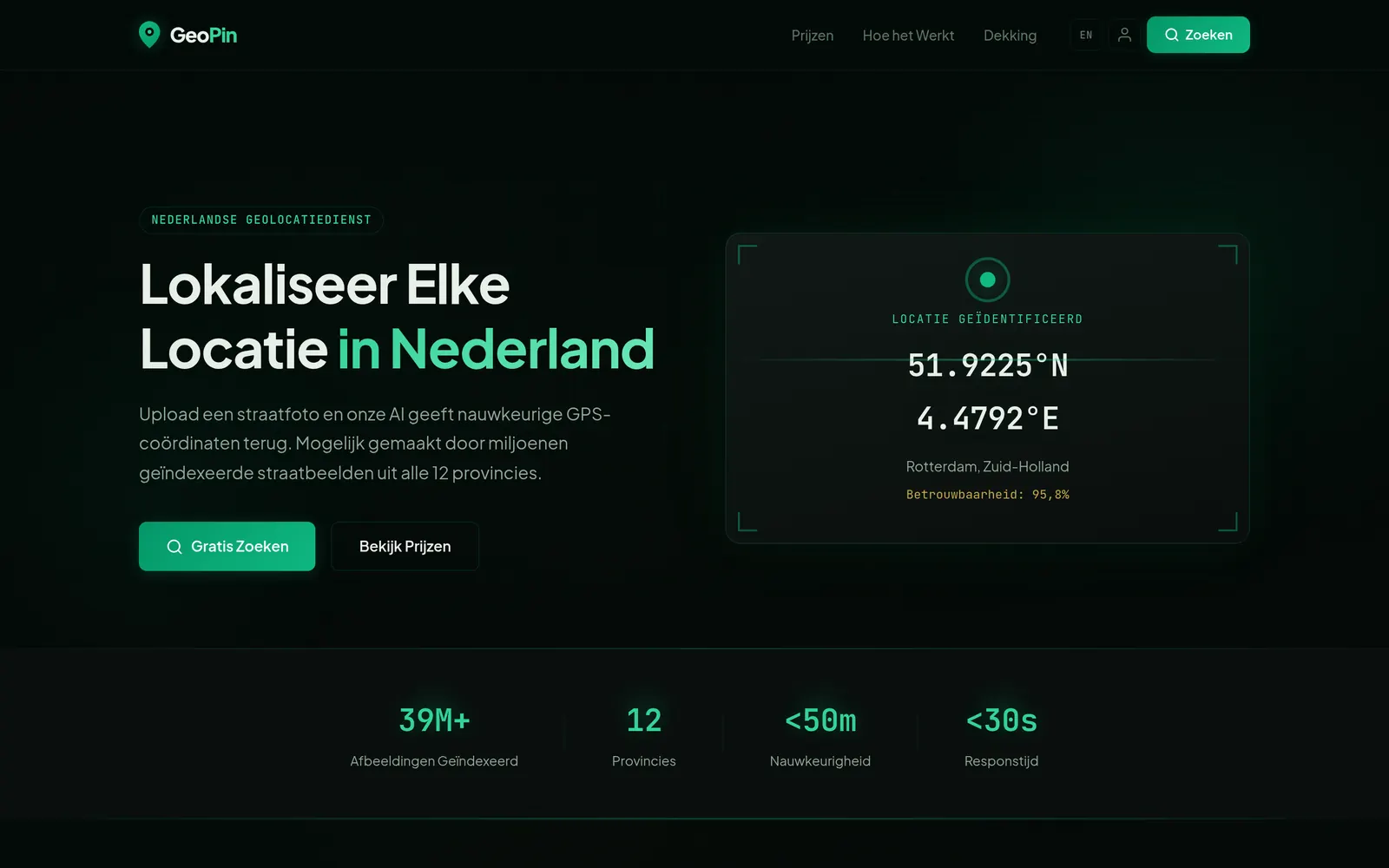
GeoPin: From Street Photo to Coordinates
GeoPin takes a street photo shot anywhere in the Netherlands and gives you GPS coordinates back, typically within 50 metres, from the image alone.
It works by matching what’s in your photo against open street-level imagery rather than by reading metadata. If the picture happens to carry GPS data, that isn’t where the answer comes from, which is rather the point.
Dutch streetscapes turn out to be unusually good for this. Bollards, brick patterns, road markings, street furniture and signage all vary by region and often by municipality, so there’s a lot more locational signal in an ordinary street photo than you would expect.
I built it partly because the geoguessing community is fun, and partly as a real exercise in putting a vision model behind an actual product instead of leaving it as a notebook demo. Getting a model to produce an answer is the easy half.